The Broumov Walls (Broumovské stěny) form a continuous sandstone escarpment extending approximately 40 kilometres along the Czech–Polish border in the Broumov Highlands. Unlike the isolated rock towns of Adrspach or Prachov, the Walls present a coherent cliff line — a geomorphological feature more typical of plateau-edge scarps than of inland rock formations. At points the cliffs reach 60 metres in height, exposing a near-complete vertical cross-section of the Upper Cretaceous sandstone sequence in this part of Bohemia.
Geological Setting
The escarpment developed along the eastern margin of the Broumov Synform — a gentle downwarp in the Upper Cretaceous strata that runs roughly north–south. The synform filled with sediment during the Turonian and Coniacian stages (approximately 89–85 Ma), accumulating a sequence roughly 300 metres thick. Post-Cretaceous erosion removed much of this material from the surrounding upland, leaving the Walls as a resistant remnant at the structural edge.
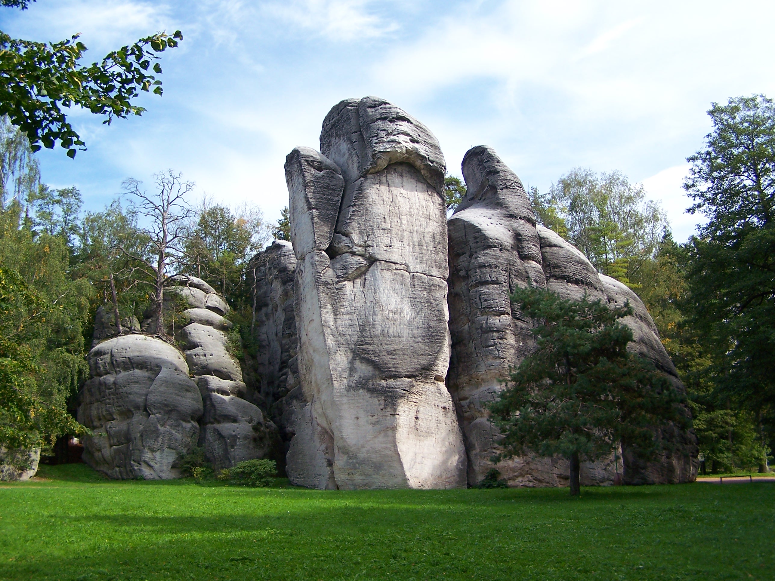
The lithology is dominated by Coniacian quartz sandstone, locally interbedded with thin silicified layers. These silicified layers act as hard caprock horizons; the cliff profile steps outward where they crop out, creating characteristic ledge-and-overhang sequences visible on the most exposed sections near Bischofstein and the Devil's Kitchen (Čertova kuchyně) locality.
Cliff Morphology and Notable Features
The Walls are not a single unbroken face. River incision by tributaries of the Stěnava and Olešnice Rivers has cut transverse valleys through the escarpment at several points, creating natural passages — locally called "Průlomy" — that allow movement between the plateau above and the valley floor below. Three of these passages carry KČT-marked trails. The most accessible is the Machov Passage near the village of Machov, where the trail descends 140 metres over 1.2 kilometres through a well-defined cleft in the sandstone.

Geological Nature Trail
A dedicated geological nature trail — Naučná stezka Broumovské stěny — runs for 14 kilometres between the villages of Broumov and Hronov, following the base of the escarpment for much of its length. Eighteen interpretation panels along the route cover topics including sandstone mineralogy, Cretaceous palaeoenvironments, Quaternary periglacial processes, and the ecology of sandstone cliff habitats.
The trail is maintained by the Broumov Protected Landscape Area administration. Trail surface varies: packed gravel on the lower valley section, forest earth path on the plateau section, and exposed root networks on the steeper climb sections near the cliff base. Walking poles are advisable for the descent into the Machov Passage.
Key Trail Sections
- Broumov to Božanov: 5.2 km, relatively flat, along the cliff base; passes the Devil's Kitchen locality where a large overhang creates a microclimate zone
- Božanov to Bischofstein Viewpoint: 3.8 km, ascent of 180 metres; the viewpoint at 715 m a.s.l. provides a clear sight line over the Polish upland to the east
- Bischofstein to Hronov: 4.9 km, descent via the Machov Passage; this section passes through a zone of large boulder talus — an active frost-weathering deposit still accumulating at present
Flora of the Escarpment
The Broumov Walls support an unusually diverse flora for a sandstone environment. The combination of altitude (plateau at 680–720 m a.s.l.), aspect (north- and east-facing cliffs), and moisture retention in crevices creates conditions suitable for both boreal and sub-montane species. Documented vascular plant count within the reserve exceeds 480 species. Notable among them: Woodsia ilvensis (oblong woodsia), a glacial relict fern found in only a handful of Czech localities; Saxifraga rosacea (Irish saxifrage), at one of its southernmost Central European stations; and Festuca pallens (pallid fescue) on the drier, south-facing ledges.
Access and Visitor Notes
- No entrance fee: The Broumov Walls are freely accessible on marked trails
- Base village: Broumov, 10 km southwest of the central escarpment section; direct bus connection from Náchod
- Nearest railway: Hronov station (České dráhy, line 026); 2 km to the southern trailhead
- Overnight options: Guesthouses in Broumov and Machov; no huts on the trail itself
- Climbing: Limited permitted areas only; most of the escarpment face is within a strict nature reserve zone where climbing is prohibited without written permit from AOPK ČR Náchod
Conservation Framework
The Broumov Walls are a National Nature Reserve (NPR) within the Broumov Protected Landscape Area (CHKO Broumovsko), established in 1956. The AOPK ČR administers a strict management zone covering the cliff face and 50 metres of talus at its base. The adjacent forest belt on the plateau is zoned as a buffer, where forestry operations are permitted only under a separately approved plan. The most recent management review (2022) extended the climbing permit-only zone to cover 32 of the 37 documented climbing sectors on the escarpment.